
Lawler offers a lot to love, even on a damp spring day.
Closest Towns: Oakridge(10 min), Eugene (30 min) or Corvallis (1.3 hrs)
Ride Format: Mostly Shuttles but out and back and loops are good too.
Trail Style: Ripping Trailride with a bit of a backcountry feel
Giggle Rating: ***
Riding :***
Scenery :***
Flow:**
Adventure: ** to ****
Technicality: Moderate
Physical Difficulty: Low for shuttle, high for up and back, a bit gnarly for linkups.
Ideal Bike: Trail Bike

The White Pony scans across the valley to assess the location of the Alpine Trail, smug for the moment in it’s decision to do Lawler instead.
Beta Spewage
Overview: Like many others, TDM looked past this beauty for a number of years before finally deciding to give it a whirl… the fool. It is understandable that trails like Alpine get the bulk of the attention in the area, but TDM would hold this one up as a fine example of what else is out there in the Oakridge triangle. What stands out in TDM’s mind is the backcountry feel of the whole thing; instead of the super buff tread found on Alpine and the nearby Hardesty Trail, Lawler serves up a similar combination of ridgelines and sidehills, but with a little less refinement. Not every line is perfect, and some of the sections flow only if you get them right…or maybe not at all. The riding is engaging, the forest pleasant, the views are memorable and the amount of vert is pretty staggering. For years the one detraction to this route was a lame finish on a logging road on the descent, but that has now been replaced with a section of flow trail…it is a strange fit with the above section, but no matter…the fly has been removed from the ointment. It is worth mentioning that this trail actually climbs pretty well, assuming you don’t’ mind having to step off at a few challenging switchbacks. The ascent is formidable, but rewarding, and TDM recommends this out and back for the stronger spirits among us. To summarize this summary, this underappreciated gem has some querks, but makes a great choice for shuttlers and XC fiends alike. It doesn’t get the hype of other nearby options, but it’s a good line, and the recent completion of the extension of this trail could easily be the fix that brings it the stardom TDM believes it deserves.
Pros: Some good views, sections of enjoyable backcountry-style riding, a big descent which has gotten a bit bigger in recent years, and relatively low traffic. Climbing this will result in some strange looks from the padded hordes, but the endeavor is well rewarded for the inclined. It can be linked to other trails in the area, and works well for linking a series of shuttles on various trails along this ridge.

Lawler has this false summit ridge that is momentarily really rewarding on the climb, but then reality sets in when one realizes that there is still 1000 feet of climbing left. No matter…it’s worth it.
Cons: The shuttle is relatively long, and the climb is pretty hard, though more from the continuous nature than any one grueling section.
Need to Know: Explore the XC sections of this trail up top, particularly the spur out past Lone Wolf shelter to a fine vista at Patterson Mtn.

Typical Oakridgey views on Lawler Trail.
Other Rides in the area: Eula(***), Hardesty(***), Sawtooth(***)Alpine(****)McKenzie Trail(****),O’Leary Mtn(****), many more.
Recommended Route Options
- Shuttle; about 8 miles and 500 feet vertical (.6-3hrs). The vast majority of folks shuttle this rig, though TDM has not done this yet. There are a couple of ways to get to the top, and you can approach from the east via Rd 5817, or from the North via RD 5840, then around south side of Patterson Mtn via Rd 1714. (See adventure maps: Oakridge).
- Up and back (about 18 mi, 4000ft elevation (2.5-5 hrs): If you are going to ride this hill I recommend the full out and back over climbing the logging roads. This effort edges toward burly, and you should expect to hike a few short turns.
- Linkup to hardesty/sawtooth, etc**** (various length and vert, but assume 30 mi and 5000+ vert): Lawler can be linked via various sections of trails and road to Bula, Hardesty, and Sawtooth Trails. TDM recommends Sawtooth for a full backcountry adventure, but any would be interesting. It will be hard.
- Lawler, Deception, Lawler loop**** ( About 40 mi 10,000 ft climbing(4-8 HRS): This is the linkup that got TDM off his ass to investigate both of these trails, and it’s a good ride, though it has not been possible since the fires of 2014. If the Deception trail opens again someday, consider throwing down . Park at the road crossing

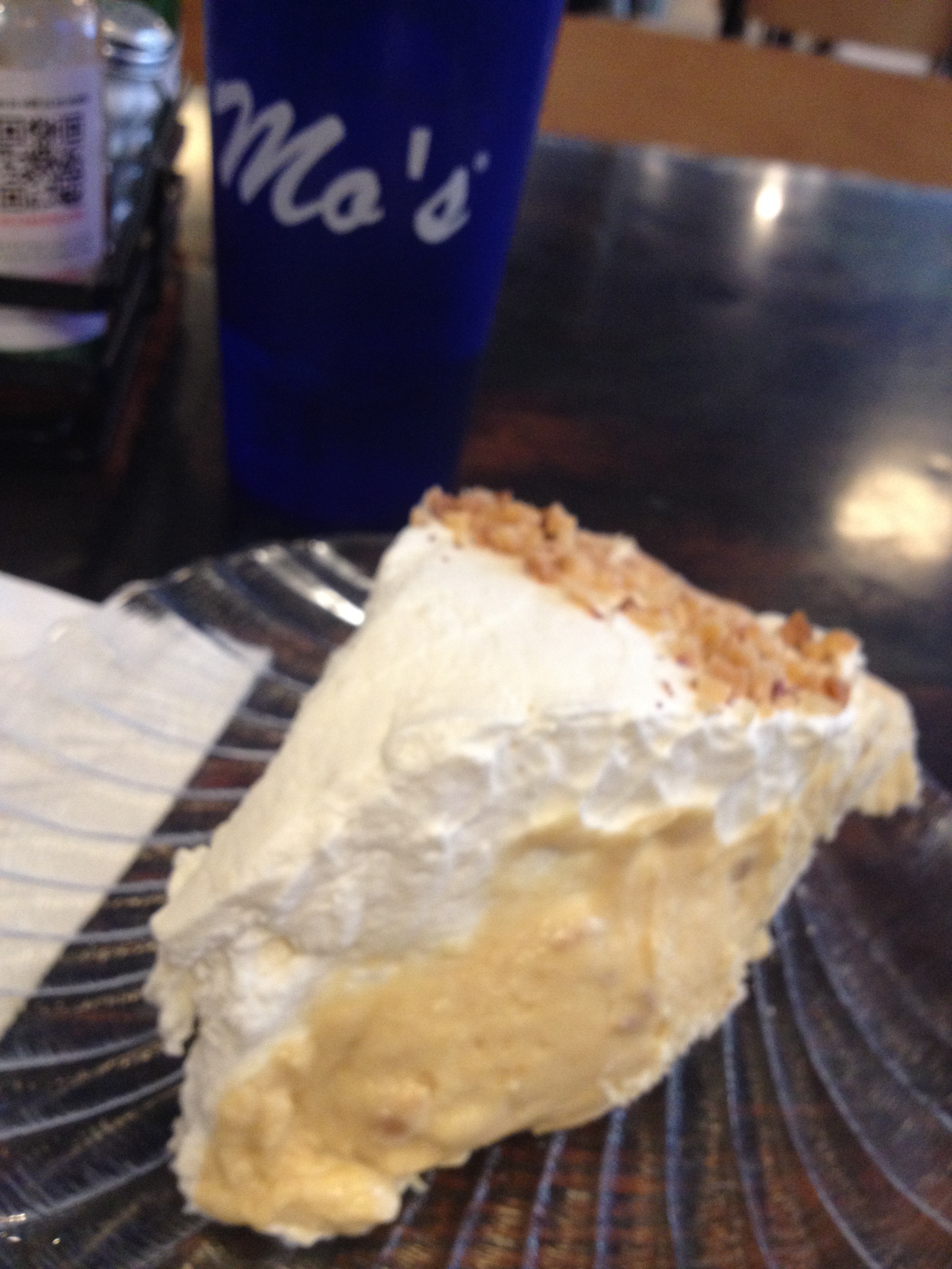
You’ll need PB pie after linking Lawler, Deception, Lawler.
of Duval Creek and climb Lawler to the TH at RD 5847. Cruise down logging roads (many options possible; TDM took an overgrown 551 RD that came out right at the top of the Deception trail, but this was a little too much hacking for my liking). Hike up the initial climb on Deception, then drop this really cool trail to HWY 58 (don’t fall off a cliff). Refuel and make sure you have plenty of water, then cruise North on 58 for a few miles to RD 5847. Climb this back up to Lawler TH (possible bypass will drop about 4 miles and 800 ft of climbing if you don’t go all the way to the top), then drop Lawler back to your car and waiting cooler.
Links, Maps & Media
Adventure maps: https://www.adventuremaps.net/shop/product/oakridge-oregon-trail-map-oregon/
Cascade Singletrack: http://www.cascadesingletrack.com/WillametteNF/Lawler/Lawler_Lone-Wolf_Patterson-Mountain_Deception-Butte_Topo.html
MTB Project: http://www.mtbproject.com/trail/5805040
