Yonder hills promise much, but you must crush some bunnies to reach the top. The reward? PB treats and railing opportunities all over the show.
Closest Towns: Philomath & Corvallis(10min),Eugene(1hr),Salem(45min)Portland(1:50)
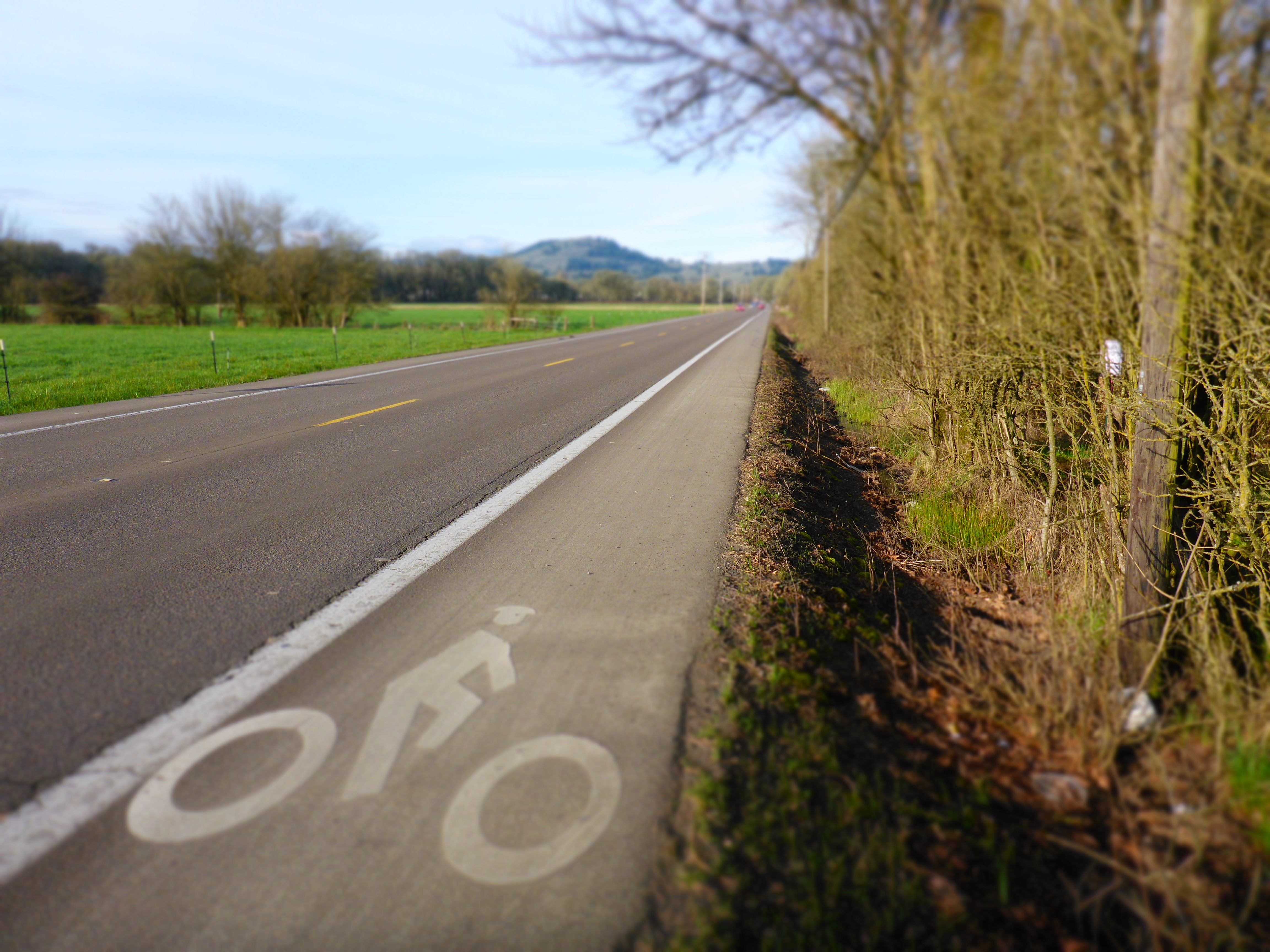
Ride Format: Chaotic- choose your own adventure.
Trail Style: Kind of enduro-ish…TDM feels cheap even saying the word, but it’s true.
Giggle Rating: ***
Riding ***(choose the trails wisely)
Scenery :**
Flow:*** for advanced, ** for intermediate and below.
Adventure: ** (though you might get lost, which could upgrade this attribute a bit)
Technicality Difficulty: Intermediate in general. Rides Range from beginner to advanced
Physical Difficulty: Adjustable, but generally difficult.
Ideal Bike: Trail bike with a descending bias.
When Wet: The Mud can get bad, and many trails should be avoided when wet. There are a few exceptions…see Individual Trail Reviews below.

South Side Slip is the very image of what the mac is all about, and you don’t even have to go to the top to get there.
Beta Spewage
As TDM stated on the CORVALLIS Introduction page, the MacDonald-Dunn forest, known locally as “the Mac”, is a bit of an acquired taste, perhaps best sampled under the tutelage and enthusiasm of a knowledgeable local. TDM is sad to report that many folks have negative things to say about his local haunt, and while there are clearly a few warts, he firmly believes that the riding here is gorgeous on the inside. This place is steep and it tends to weed out people with pain receptors and/or no granny gears. As a result it seems best suited for those who have a hankering for efficient (i.e. steep) logging road ascents followed by steep, fast and sometimes awkward descents. It also helps to have some serious trail-skills, and it is no accident that many of the folks who seem to love the place most are rippers of one description or another. At the moment there are not a lot of good options for beginning or low-intermediate riders…the raw feel and big climbs deter a casual approach…but Oregon State University is working on a recreation plan which includes the building of several purpose built MTB trails. That should help bridge the gap, and serve as a gateway to get more folks into the vibe of the ghosts that frequently haunt this place, winter, spring, summer and fall. To summarize this summary, The Mac is no destination, but it’s no doorknob either. There are some fun loops to be had, particularly if you love steep, narrow trails on the descent, and steep, gravel roads on the way back up to the top. The only real problem is finding the damn trails. Navigation of this web can be a little tricky, and TDM will describe a few recommended loops in the sections below, with individual trail descriptions (admittedly in a bit of an overwhelming format) here.
Pros: Easy access to trails, bike shops, burgers, beer…and oh yea…employment and/or an education. If you can learn to ride smoothly in the Mac most other places will feel pretty friendly. As a result this place fosters skill improvement and calf development in spades. Also, a few of the descents are strait up rad, even for intermediates.

Stark Naked is both, but highly attractive nonetheless. Here T-rev is having too much fun to care as he approaches T-line direct.
Cons: The climbs are fair, but not cake, and they add up quickly (after work rides from town with TDM and his crowd are often about 20 miles and 4000ft of climbing… masochistic, but worth it). There can be a lot of hikers on certain trails, and TDM asks that bikers remain super-respectful of other users! Rain really messes up the trails here; please select your routes with that in mind! Most locals do a lot of cruising logging roads during the winter to avoid damaging the trails. The best trails tend to be at higher elevations, so you may need to climb a bit more to get to the goods! OSU forestry experiments and logging occasionally alter or delete trails. ****Note: TDM has this thing about traveling in circles, and his home happens to be in the perfect spot to form loops. As a result his claimed giggle ratings may be higher than realistically should be expected…you know how TDM is about traveling in circles.

If Yeti-wheel crushes in the mac and there is nobody there to hear the sound, did he really crush? TDM’s theory is that it is highly likely.
Need to Know: Please be considerate of hikers and equestrians on this one, and honor OSU trail closures! We are guests here, and though this forest undoubtedly serves as the most popular park in the area, poor behavior from any one user group could greatly influence how future management is conducted.
Other Rides in the area: Alsea Falls (***), Marys Peak(****),Black Rock(***), Oakridge is 1.6 hrs away.

TDM could try to sell you property on Upper Southridge trail based on the smile on Mel’s face, but everybody knows that would be a cheap move, cause when she’s riding her bike, that smile always there. One consolation;, the trail isn’t hurting.
.Recommended Route Options (This part is always changing as trails come and go, but here are a few good circuits. Use of the CorvallisTrails.org maps will help guide you, and individual trail descriptions are here, should you give a shit).
Beginner
- Dans, Horse,Dans, done.*** (9.5 miles, 1800 feet climbing) The basic Corvallis ride provides some wide , easy singletrack with climbing that is within the range of mortal comfort. This ride also happens to be in good shape during the wet season. Start from either Chip Ross Hill or the northern end ( top) of 29th ave, and ride lower Dans trail a about 1.5 miles to an intersection with RD 612.4. From here, follow RD612.4 uphill for about a mile to Horse Trail. Climb middle and upper Horse trail for another .8 mi to it’s top at Patterson Rd. Turn left on Patterson Rd and ride to the top of Dimple Hill, enjoy the view and perhaps a few blackberries, then rail Dan’s trail back to the start point.
- The Tower** ( 3 miles and 600ft of climbing, or 6.5 miles and 1100 ft climbing):
The Tower Trail on Vinyard Mtn makes a nice short loop for beginning riders. Adding on short sections of Torn Peck (i.e. Ridge Trail) , Dan’s, Horse, or Bonzai trail are other good options. Start from the saddle on Sulphur Springs Rd and ride Nettleton Rd about 1.5 miles to a road on the right leading a short distance to the top of Vinyard Mtn. From here take the Tower Trail for about a mile back to the car nettleton Rd, turn left and descend back to the car. For the bigger loop, take Davies Rd for about 3 miles to where it meets Nettleton Road, then turn right and take Nettleton about two miles to the spur road on the left that takes one to the top of Vinyard. Follow the trail from there back to your car.
- Extendo*** (5 miles and 1100 feet climbing): Extendo is a pretty cool trail, and this loop is the best beginner option available at the Oak Creek Gate. It also combines well into a longer ride with Dans trail. From the Oak Cr gate, climb up-route to the top of the extendo trail. Enjoy the ups and downs of Extendo, then finish with Homestead trail, or add on Narnia if you have legs enough for another 3 miles and 400 ft of climbing ( exit down Skillings road, then turn left on NW Oak Cr drive and climb a short distance back to the gate).
Intermediate
- The after work loop (from Timber Hill)** (15.6 miles and 3200 ft climbing, or optional add on has 16 miles and 4000 ft climbing) This one has mostly easy trails, with the crux being the climb and descent of Thistle and Bombs Away. An optional add-on adds significant difficulty on the climbing end of things…Bee sting is punchy! Here’s the route: Starting at Chip Ross or from the Timber Hill neighborhood, climb Dan’s trail, then continue up Thistle (i.e. Hydra/Poison Ivy), then cut across Hansel and Gretel, and then to o Bombs Away. After Bombs do Torn Peck (i.e. Ridge Trail), cross Sulphur Springs Road, then climb up Nettleton Road for about 1.5 miles to a road on the right leading to the Tower Trail. Descend the Tower Trail, followed shortly after that by Outhouse Trail, then Cross back over the road and climb Patterson Road about .65 miles to a choice: longer ride will turn right onto Area 51 (Beta Trail), then climb Bee sting/Patterson Road to the top of Dans, then down that to the end. The shorter (and easier) version will climb on Patterson Road directly to the top of Dimple Hill, then Down Dan’s Trail.
Another good variation (TDM’s favorite version of this loop): go directly from Bombs away to area 51, thus cutting out Torn Peck (aka. Ridge Trail) and the tower. Finish with a climb on Beesting and a descent on Dans…a good option that ends up being about 12.5 miles long, with 3100 feet of gain.
- Oak Creek Gate “low” loop** (12.6 mi and 2650ft climbing This is a quick linkup that avoids climbing to the top, but still gets in some fairly fun trails. This is not a good wet-weather combo…very muddy, so please stay off under those conditions. From the Oak Creek Gate, Climb uproute, then further up the 680 road to the top of Innuendo. Drop Innuendo and Extendo, then turn right on uproute (Rd 6020) and ride about .5 mi to a spur on the left which leads to the bottom of Scream (i.e. Scream’n Jack). Climb Scream, then descend Howler (labeled as scream on map), with a recommended alternate of taking the Portal Trail, which is a right turn about 2/3 of the way down Howler. Now climb the road to the top of Hocus Pocus and drop this. You could end here, but TDM strongly recommends following up with a descent of Narnia. From there you can go down Skillings road, then turn left on Oak Creek Drive to return to the parking lot.
Full-on Mac Experience (TDM’s current Favorites)
- The After Work Loop: About 24 miles and 4100 feet climbing from town/ 15.5 miles and 3800 ft from the Oak Cr. Gate: TDM will attempt to update this as trails change, but his current favorite loop goes like this- After eating a PB & J and scrambling to find your gloves and a pair of socially acceptable socks, ride out to the Oak Cr gate from wherever you happen to live/be staying ( around 4-6 miles from town). Climb Uproute, then continue up the 680 road to a flat spot and a bench on the right (which is the top of The Plunge). Talk, and be the victim of shit talking, then drop the awesomeness that is The Plunge. At the bottom turn left on the road and climb this a short distance to an intersection. Stay left and continue climbing/talking shit to your friends for about a mile to a junction with the 680 Road at a pass. Stay right, and continue further uphill to the top of McCulluch Peak (it will hurt, so talk more shit, or get your friends monologueing to insure they slow down a bit). At the top you should eat something involving peanut butter, possibly with chocolate as well, and don’t forget to talk shit about whoever is not at the top yet. Begin the descent as soon as said straggler arrives to insure further punishment for slacking; in the past TDM would have recommended dropping 007 and top secret in quick succession, but their recent deletion forces this option: Drop New Interpretation (50 yards west of Tin Can), followed by the upper section of Old South Ridge. When this section hits the spur Road in the clear-cut ( the 2nd road intersection), turn 180deg right and double-back on the road 200 yards to Lupine Letdown. Cruise Lupine to Brown-nose (about 200 yards…can also reach this from the top via Tin-can), and then drop the Nose. Turn right at the next road and climb a short ways to the saddle where you will drop Word to Your Mother, possibly via a quick out and back on Stark Naked, which enters from the right just before entering the forested section of trail. After missing it’s hidden start, complain that you always miss the start, and then ride up Word Up, which takes off to the left just before the last hard right on WTYM. When you hit the grassy road turn left and keep going up, staying left at a split when it turns back to single-track, and avoiding poison oak as needed. At the top you have two choices… both good.
- The shorter version will ride down the 770 road to the right, then taking south ridge through the first two sections. Here turn right on the 770 road, ride about .25 mi to a short trail on the right, dropping this, then crossing the road again to pick up the somewhat hidden beginning of Howler. Enjoy Howler, preferably hitting The Portal trail which takes off to the right 100 yards beyond the second latter structure. Now Finish on Narnia, and talk about how rad that was as you glide down Skillings road into town. If possible, grab a friend’s seat and let them tow you home.
- The Longer version is also a bit harder, but hey…that’s the Mac. Turn left on the 770 Rd and ride about .7 mi to South Side Slip. Enjoy TDM’s favorite Mac trail, then climb scream and descend howl, preferably hitting The Portal trail which takes off to the right 100 yards beyond the second latter structure. Now Finish on Narnia, and talk about how rad that was as you glide down Skillings road into town.
Wet Loops ( where to go when it is raining)
- Beginner – Dan’s, Horse, Dan’s, done *** ( see beginner section above for a description of this ride).
- Intermediate – Mac Loop Light: (8.3 mi and 2050 ft climbing) This ride works well if there has been recent rain, but conditions are not soaking wet. From the Oak Cr. gate, Climb Uproute, then proceed to the top of McCullock Pk. Drop New Interpretation, Brown-Nose, then do South Ridge. If it is open and you want a little more you can always go hit Extendo from here, or just bail to the parking lot and back to your warm tea/ cold beer.
- Intermediate –Hi-Low ; the CX winter solutions ride (20.5 mi, 3800 ft climbing) Hi-Low ( or Low- Hi in this case)is the main local winter ride, which can also be linked easily to the Oak Creek Gate or Peavy. From town, climb Lower Dans Trail to RD 612.4, then climb that road to Horse Trail. Climb upper Horse, then ride Patterson Road to Sulphur Springs Road (possible detour at Torn Peck Trail). Cross the paved road and take Davies Road ( the lower option) and ride to the intersections of both Nettleton RD , Rd 560 and Rd 500. Ride Road 560 North along the ridgetop to Bonzai Trail, then Climb Rd 500 back up to Nettleton Road. Turn Left on Nettleton and climb this, enjoying the final descent Back to Patterson Road, eventually descending Dan’s Trail Back to town. You can shorten the ride by cutting off the Bonsai/Rd 500 section (3 mi and 700 ft vert less), or by descending via Horse Trail. A nice winter stroll!
- Advanced – Big Mac: (11 mi and 2900ft climbing). Similar to the Mac Loop, but a bit more climbing. Climb to the top of McCullock Pk. Drop New Interpretation, Brown-Nose, then drop Word To your Mother to Skillings Rd. Climb Back up Skillings Road, take a right at he saddle, then a right shortly after that at a split. Ride about 100 yards, then drop Stark Naked to Word to Your Mom, but then climb back up WTYM to the it’s top. Now trun right (south) and ride down Rd 770 to Sourth Ridge. If it is open and you want a little more you can always go hit Extendo from here, or just bail to the parking lot and back to your warm tea/ cold beer. Not a bad winter loop!
